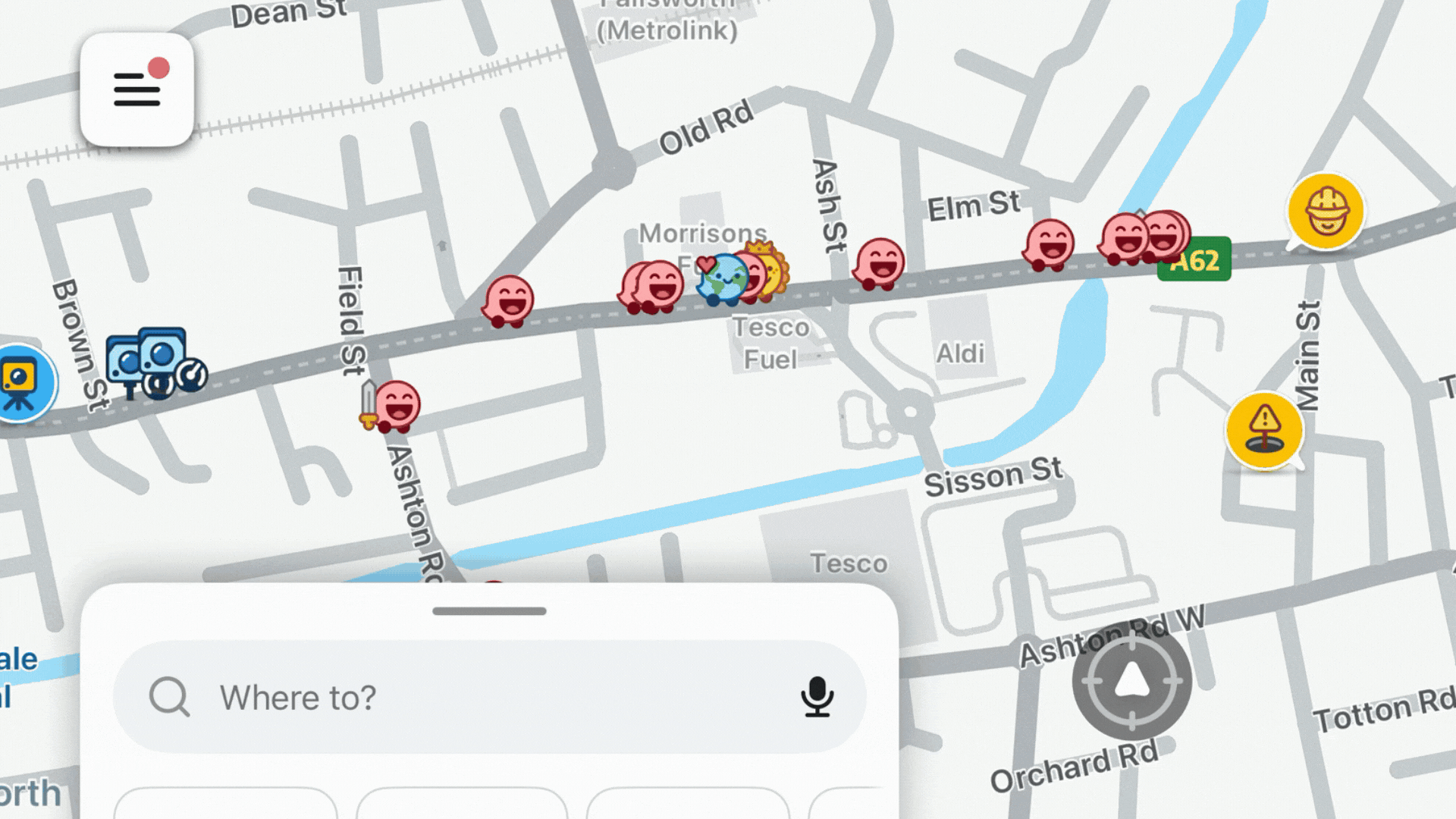
About this data
The figures shown here reflect reported potholes, not every pothole that exists. Reporting levels vary by location, population, and app usage.
Spikes in activity often reflect when damage becomes noticeable, not when it first formed.
This data is best read as an indicator of patterns and pressure points, rather than a complete audit of road conditions.
Source: Waze community reports, collected every ~3 hours. Verified by driver confirmations (thumbs up).